
Multiple disciplines, many researchers, scientists, industry players and $104 million have come together to create one of the most comprehensive studies into the metal riches of the Earth.
And once it's completed, the organization overseeing it says it will revolutionize how mining companies seek out metal deposits, and all the data will be free and public.
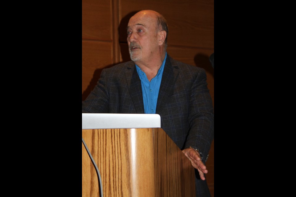
Harold Gibson, director of the Mineral Exploration Research Centre (MERC), gave a presentation on Nov. 29 to the Sudbury Geological Discussion Group of the latest findings of the Metal Earth project.
It's an international project to help researchers, scientists and industry understand the processes of how and where metals appear in the planet's crust and to make mineral exploration more accurate.
Part of the project included seismic testing around the Sudbury Basin earlier this year
This project, according to MERC director Ross Sherlock, will help the country be a leader in mineral exploration.
“What we are hoping to do is develop tools that will help companies be a lot more effective in area selection,” he said.
“They can decide on areas where they can initiate exploration, and pursue projects in areas that have higher mineral endowment. That will reduce exploration risk and result in greater discoveries.”
The project included taking data collected from other sources and using it as a guide to help lead researchers to areas known to have high metal concentrations.
Gibson explained the end goal is to develop new and transformative technology for the long-term.
Their strategy had to be focused, he said. Their study had to concentrate on greenstone belts which contain 60 per cent of the Earth's history and 50 per cent of Canada's mineral wealth.
To explore these areas, MERC conducted seismic and gravity tests similar to an ultrasound on what are called transects – straight lines or narrow sections through the earth's surface to take measurements – using machines mounted on specially-designed trucks, using data from similar projects as a guide.
The seismic tests were done concentrating on different depths, 50-kilometre scans, as well as highly detailed 10-kilometre scans.
The raw data they are getting back alone, he said, is showing amazing detail.
“We are comparing it to previous models, and it looks just beautiful,” Gibson said. “The detail is amazing.”
Because this is a publicly funded project, all the data collected from it will be free and readily available to anyone who needs it. That also means they have to complete their research in a timely fashion.
“It belongs to Canada, and it is our responsibility to make that raw data and the processed data available as soon as we possibly can. We will respect the students' timelines to get thesis and publications published. I want to assure the public that this data will be available.”
Gibson explained a lot of geoscience data gets buried in files and computers. Once this data is available, he said there will be many people and organizations that will find it useful for their own projects.
“They can take this data, maybe even further than we have, and add to the interpretation,” he said.
“It's all about moving science.”
He added MERC is in talks with IBM to create programs and algorithms to get a better visual understanding of the structures in the Earth, which he described as almost like making a movie.


