
A federal environment assessment is starting on a supply road into the Ring of Fire exploration camp in the James Bay region.
The Impact Assessment Agency of Canada (formerly the Canadian Environmental Assessment Agency) decided on Nov.29 that an environmental assessment (EA) study is required for the proposed Webequie Supply Road Project.
The agency is encouraging comments from the public and groups to provide feedback on what specific issues must be considered, along with the plan for public participation during each phase of the environmental study.
Want to read more stories about business in the North? Subscribe to our newsletter.
A provincial environment assessment is already underway led by Webequie First Nation, the closest fly-in community to the James Bay mineral belt, which is also the proponent of the road.
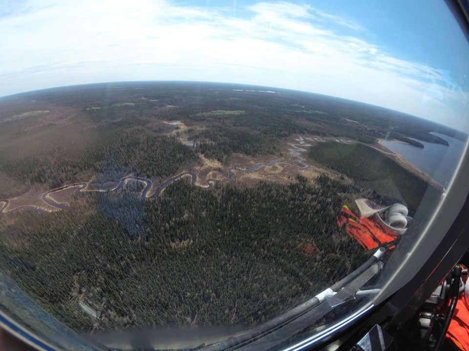
What’s being proposed is a 107-kilometre permanent two-lane gravel road between the Webequie Airport and the area around McFaulds Lake, better known as the Ring of Fire, 535 kilometres northeast of Thunder Bay.
The 35-metre wide road would allow the movement of materials, supplies and people into the exploration and future mining camp, with enough room to accommodate a power line and broadband fibre.
It would connect the community to the companies performing mine development work and exploration activity.
A combination of open houses and WebEx sessions will be held during this consultation period. Written comments will be accepted until January 28.
Webequie is one of two First Nation road project proponents pertaining to the Ring of Fire.
The other is Marten Falls, to the south, which is working with AECOM on a federal environmental assessment for the first leg of a longer north-south road to connect the remote community to the provincial highway system in the Nakina-Aroland First Nation area in northwestern Ontario.


