
The federal government is inviting public comments on the proposed first leg of a permanent north-south access road to the Ring of Fire.
Posted on the Canadian Environmental Assessment Agency’s (CEAA) website as the Marten Falls First Nation Community Access Road, the public and Indigenous groups have until Aug. 29 to provide feedback on the road's potential environmental impacts. It will inform the agency’s decision on whether to carry out a federal environmental assessment.
A provincial environment assessment on the corridor began last March. Both levels of government are expected to coordinate their efforts in this process.
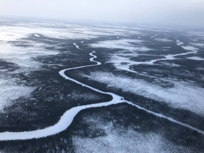
Marten Falls, the road proponent, is a fly-in community of 325 at the junction of the Albany and Ogoki Rivers, about 170 kilometres northeast of Nakina in northwestern Ontario and about 100 kilometres southeast of the mineral deposits in the Ring of Fire.
Four potential routes are being considered to connect Marten Falls to the provincial highway system (Highway 643) at the north end of the Painter Lake forestry road near Aroland First Nation, according to report prepared by AECOM Canada.
Want to read more stories about business in the North? Subscribe to our newsletter.
Depending on the route chosen and a myriad of other variables, the road could range in length from 140 to 250 kilometres.
Construction could take five to 10 years and 15 to 50 bridges could be installed. The road would be two-lane gravel and built within a 100-metre right-of-way clearance to a width of 60 metres.
The Marten Falls road would be the first of a two-phase construction project to build a north-south corridor into the isolated chromite and base metal deposits.
A second phase will involve a crossing of the Albany River to create a corridor to the future mining camp, but few details are available on the progress of that route.
The Marten Falls road would be shared with industry to allow for the movement of ore mined in the Ring of Fire to be hauled south to a potential truck-to-train transfer facility on the CN Rail main line near Nakina.
Noront Resources, the largest claimholder in the area, expects to start building its first mine in 2021 to be ready for commercial production by 2024.
AECOM’s report said a detailed construction schedule will take into account potential environmental impacts such as breeding and migratory birds, and other wildlife species.
Besides clearing the bush for the corridor, the construction activity would involve carving out temporary access roads and staging areas, erecting work camps, developing quarries, and installing bridges and culverts.
The CEAA is also taking comments for a shorter Ring of Fire supply road between the exploration camp at McFaulds Lake and the community of Webequie First Nation. The proposed 107-kilometre road from the community would end at the site of Noront Resource’ future Eagle’s Nest nickel mine. The commenting period for that corridor closes Aug.12.


