
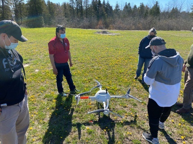
Wiikwemkoong Unceded Territory's Lands and Natural Resources Department is incorporating drone and LiDAR (light detecting and ranging) technology to help manage forest inventory in the region.
The community, located on the east end of Manitoulin Island, invested in the new technology using $155,280 from the federal government's Indigenous Forestry Initiative, through Natural Resources Canada, which was announced on May 12.
"With the support of NRCan's Indigenous Forestry Initiative, the Wiikwemkoong Department of Lands & Natural Resources' Forest Resource Inventory Program looks forward to enhancing its business plan and identifying economic opportunities by incorporating new drone and LiDAR technology,” said John Manitowabi, Wiikwemkoong's director of lands and natural resources, in a news release.
“This will enable the program to remain competitive in the forest resource inventory sector while providing detailed and accurate data to allow its clients to manage annual harvests and future silvicultural applications."
Want to read more stories about business in the North? Subscribe to our newsletter.
In operation since 2010, Wiikwemkoong’s forest resource inventory program is a revenue-generating enterprise serving clients including the Ontario Ministry of Natural Resources and Forestry.
Using geographic information systems (GIS), the organization captures, stores, analyzes and distributes spatial forest data to clients.
The new investment is expected to enhance the community's ability to bid on forest industry and government procurement contracts, and create more employment opportunities for community members.
The Indigenous Forestry Initiative supports Indigenous-led economic development opportunities in the country's forest sector.


